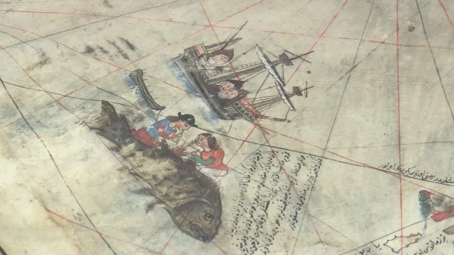
The famous 16th-century world map, drawn up and painted personally by Ottoman prominent Admiral Piri Reis, has returned for an exhibition at Istanbul’s Topkapi Palace after a long absence.
Considered one of the most important works of the Age of Discovery, the famous map from 1513 is briefly displayed to protect it from heat, light and humidity.
The 508-year-old map is placed in a special case in the library of Sultan Ahmed III (Enderun Library), which is located in the Third Courtyard of the historic palace.
Painted on gazelle skin by chief navigator and geographer Piri Reis with ink and watercolor paint, the map measures 87 centimeters by 63 centimeters. The map shows the west coasts of Europe and Africa, as well as the Atlantic Ocean and Central and South America. It is also known for being one of the oldest maps depicting America.
A statement from the Presidency of the National Palaces said the map was discovered along with other artifacts in 1924 – when Topkapi Palace was turned into a museum after the proclamation of the republic – thanks to the efforts of museum manager Khalil Eldem.
Its uniqueness was confirmed by the German professors Gustav A. Deisman and Paul Kahle, who had previously published the important work of Piri Reis, the Bahriye naval atlas “Kitab-ı Bahriye” in German.


