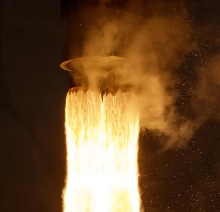
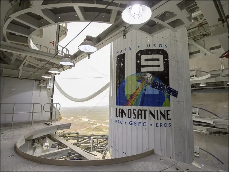
NASA Earth Observatory has reported that, pwered by an Atlas V 401 rocket, Landsat 9 lifted off from Vandenberg Space Force Base on September 27, 2021. The satellite will extend a five-decade record of observations of Earth.
Since 1972, eight Landsat satellites have been launched into orbit (including today’s launch and excluding Landsat 6, which failed during launch). This joint effort between NASA and the U.S. Geological Survey (USGS) has provided an unprecedented and nearly continuous visual record of Earth’s landscapes, icescapes, and coastal waters. Landsat satellites have collected more than 9 million scenes and provoked more than 18,000 research papers.
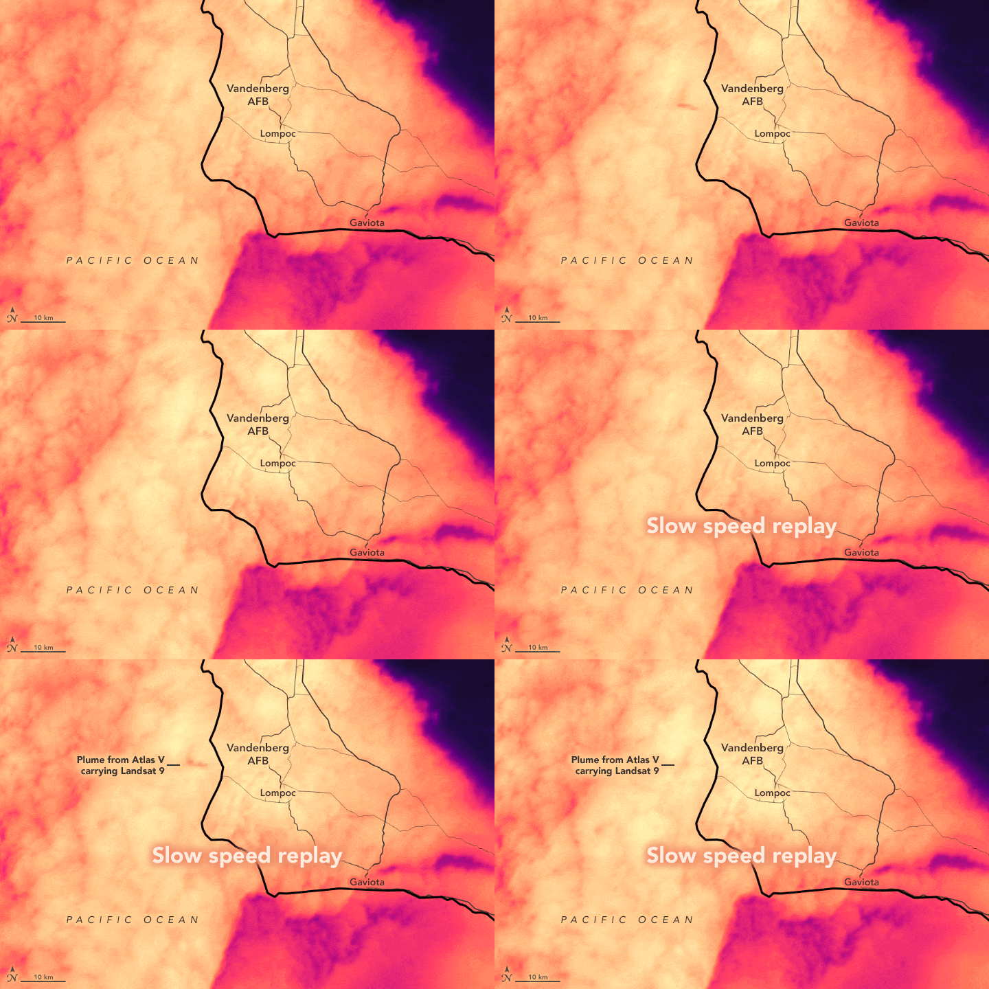
At 11:12 a.m. Pacific Daylight Time (2:12 p.m. Eastern Daylight Time), a United Launch Alliance rocket blasted off from the California coast and ascended toward the satellite’s near-polar, Sun-synchronous orbit. The animation below shows the plume from the rocket hovering over the marine cloud layer around 11:14 a.m. Pacific time; the images were captured by the GOES-17 weather satellite (band 2/red) at a rate of one frame per minute. GOES-17 is operated by the National Oceanic and Atmospheric Administration (NOAA); NASA helps develop and launch the GOES series of satellites.
Norway’s Svalbard satellite-monitoring ground station acquired signals from Landsat 9 about 80 minutes after launch. The satellite was performing as expected as it climbed toward its final altitude of 705 kilometers (438 miles), the same as its sister satellite, Landsat 8. Working in tandem, the two satellites will collect images spanning the entire planet every eight days.
“The Landsat mission is like no other,” said Karen St. Germain, director of the Earth Science Division at NASA. “For nearly 50 years, Landsat satellites observed our home planet, providing an unparalleled record of how its surface has changed over timescales from days to decades. Through this partnership with USGS, we’ve been able to provide continuous and timely data for users ranging from farmers to resource managers and scientists. This data can help us understand, predict, and plan for the future in a changing climate.”
The instruments aboard Landsat 9—the Operational Land Imager 2 (OLI-2) and the Thermal Infrared Sensor 2 (TIRS-2)—will measure 11 wavelengths of light reflected or radiated off Earth’s surface in the visible spectrum, as well as other wavelengths beyond what our eyes can detect. On each orbit, the instruments will capture scenes in a swath that is 185 kilometers (115 miles) wide. Each pixel in a Landsat scene represents an area of about 30 meters (100 feet) across (roughly the size of a baseball infield). Once operational, Landsat 9 will add more than 700 scenes of Earth to the mission archive each day.
“Launches are always exciting, and today was no exception,” said Jeff Masek, NASA’s project scientist for Landsat 9. “But the best part for me as a scientist will be when the satellite starts delivering the data that people are waiting for, adding to Landsat’s legendary reputation in the data user community.”
The USGS Earth Resources Observation and Science (EROS) Center in South Dakota processes and stores data from the instruments, continuously adding that information to five decades of data from all Landsat satellites. All of the images and their embedded data are free and publicly available, a policy that has resulted in more than 100 million downloads since its inception in 2008.
“Working in tandem with the other Landsat satellites, as well as our European Space Agency partners who operate the Sentintel-2 satellites, we are getting a more comprehensive look at Earth than ever before,” said Thomas Zurbuchen, associate administrator for science at NASA. “With these satellites working together in orbit, we’ll have observations of any given place on our planet every two days. This is incredibly important for tracking things like crop growth and helping decision-makers monitor the overall health of Earth and its natural resources.”
NASA managed the Landsat 9 mission. Teams from NASA’s Goddard Space Flight Center built and tested the TIRS-2 instrument, while NASA’s Launch Services Program at Kennedy Space Center managed the launch. Ball Aerospace built and tested the OLI-2 instrument. United Launch Alliance was the rocket provider. Northrop Grumman built the Landsat 9 spacecraft, integrated it with instruments, and tested it. USGS EROS will operate the mission and manage the ground system, including maintaining the Landsat archive.
NASA Earth Observatory animation by Joshua Stevens, using GOES 17 data from NOAA and the National Centers for Environmental Information (NCEI). Photographs by NASA/Bill Ingalls. Story by Tylar Greene, NASA Headquarters, and Michael Carlowicz.


